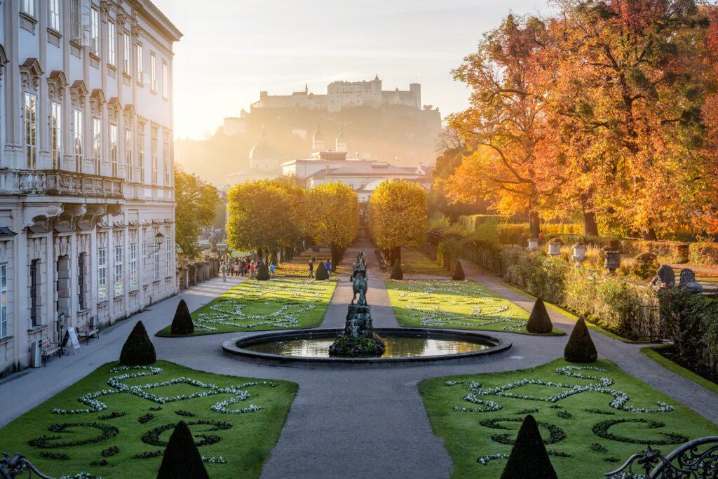
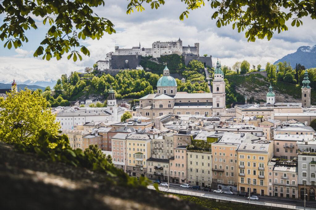
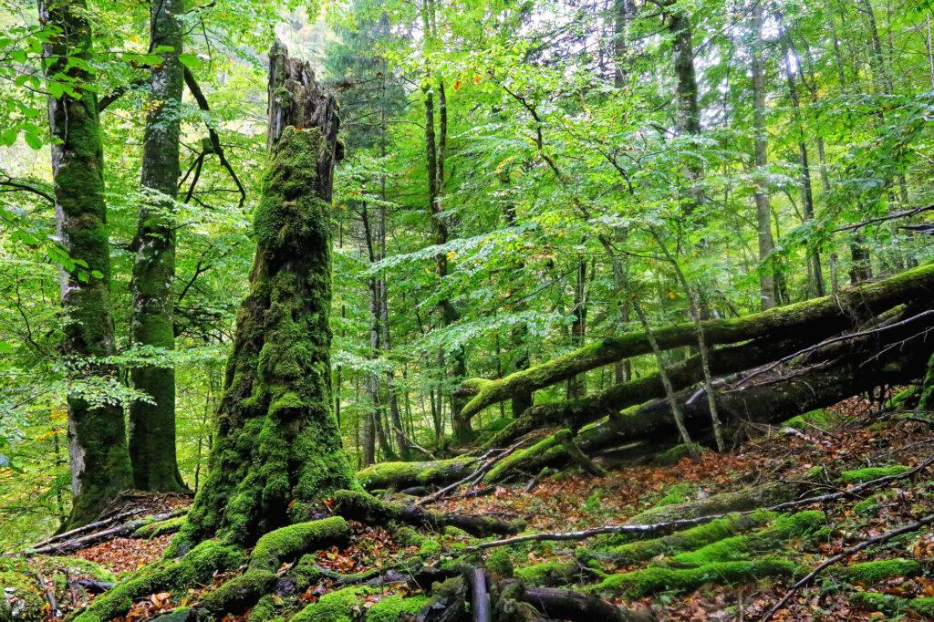
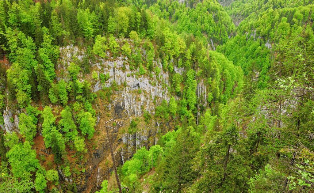
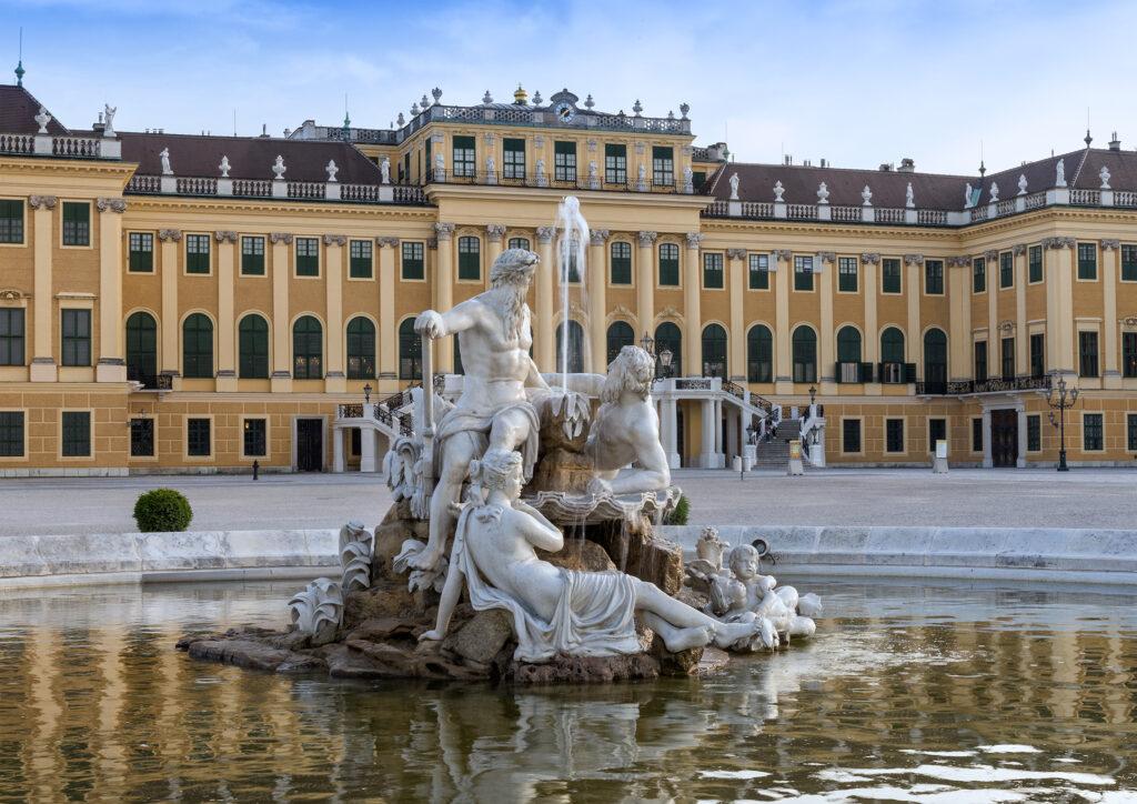
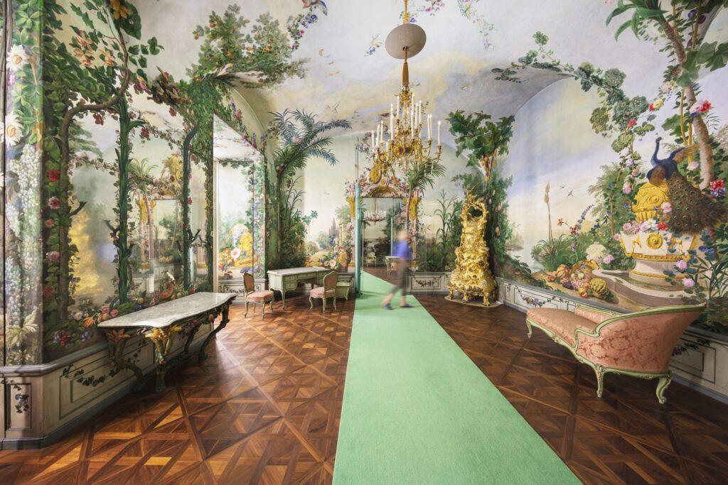
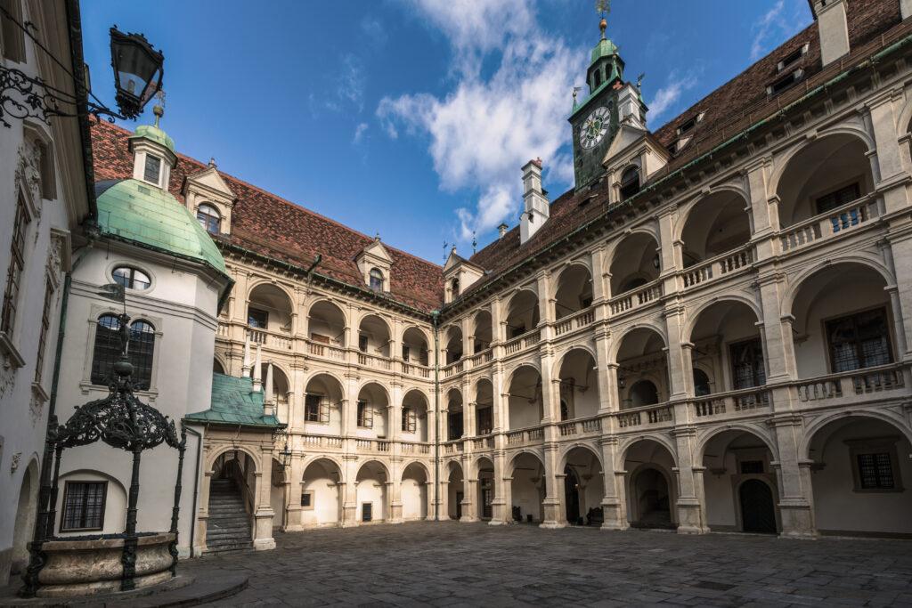
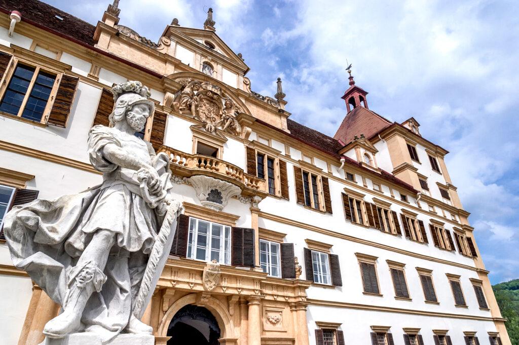
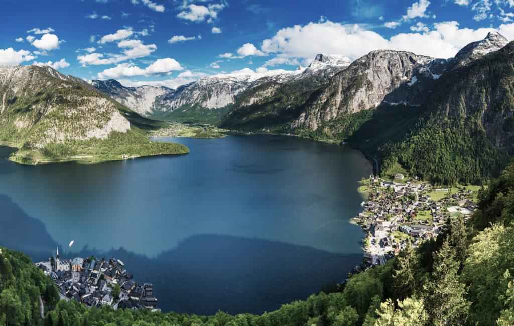
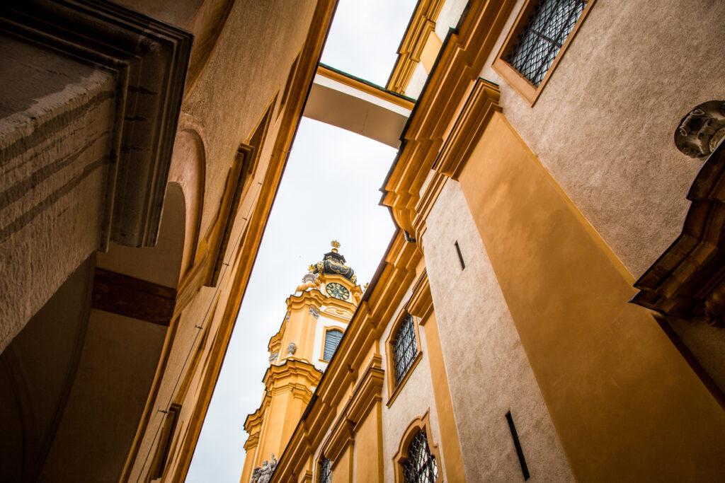
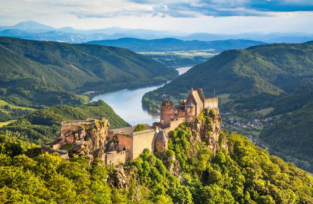
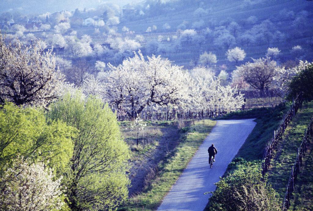
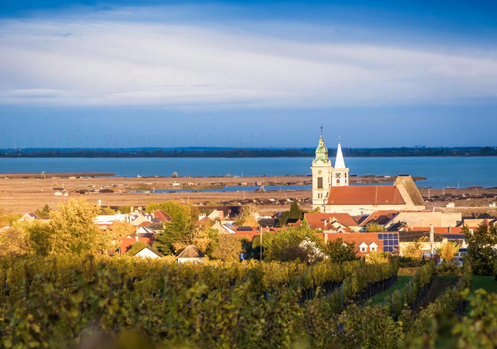
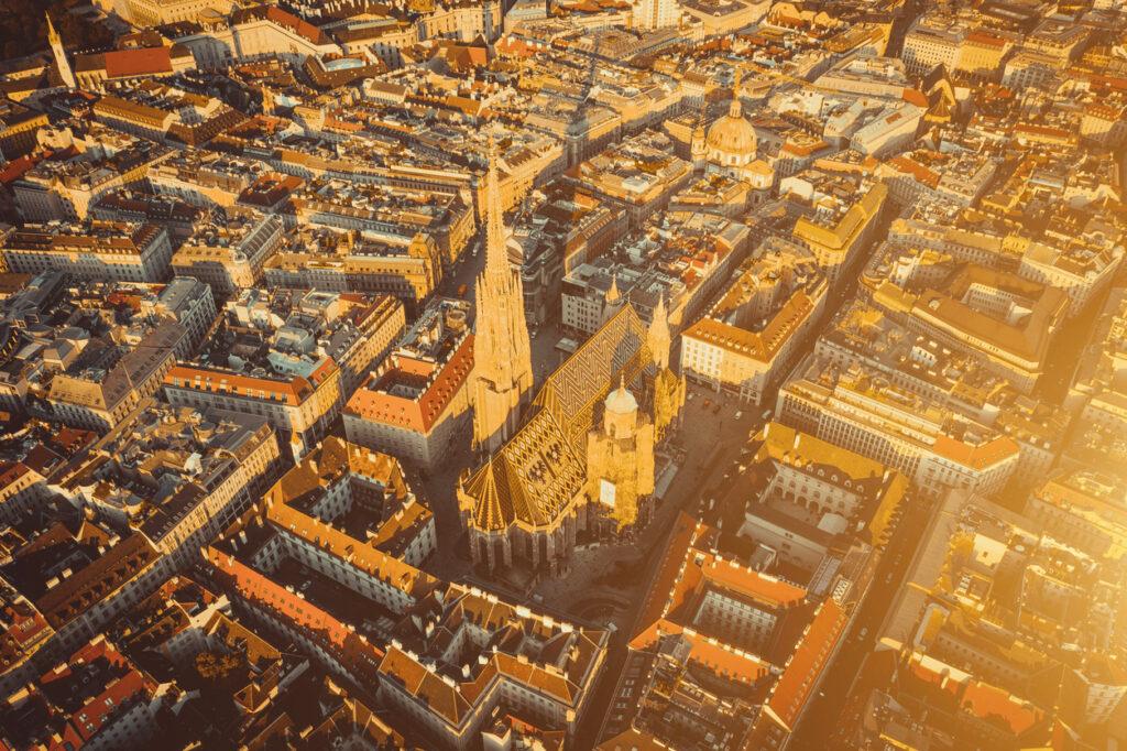
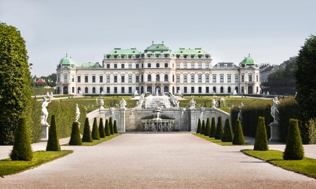
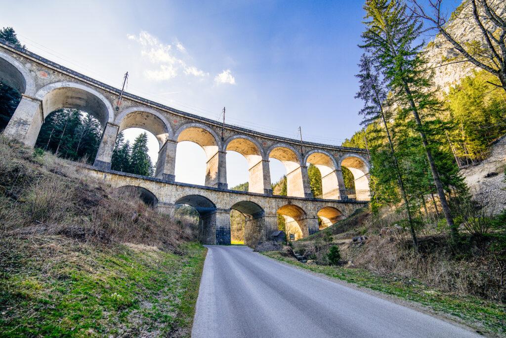
On 18 April, we mark the sixth Austrian World Heritage Day together – a remarkable testament to how firmly this annual event has established itself in the calendars of Austria's World Heritage Sites. Austria's twelve UNESCO World Heritage properties are not merely witnesses to bygone eras; they are living places of encounter, learning, and inspiration.
World Heritage thrives through the people who experience it, protect it, and pass it on. Passing on this heritage is more than an obligation – it is an invitation to present and future generations to discover the diversity and uniqueness of these sites for themselves, and to play an active role in their preservation. True to the spirit of the UNESCO World Heritage Convention, only by cooperating we can ensure that the Outstanding Universal Value of these sites endures as a source of knowledge, inspiration, creativity, and social cohesion for generations to come.
My sincere thanks go to all those who have shaped Austrian World Heritage Day 2026 and who once again invite us to explore and experience our World Heritage in all its richness. I wish everyone a wonderful and enriching journey of discovery!

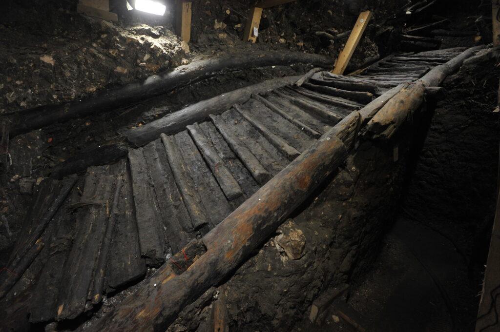
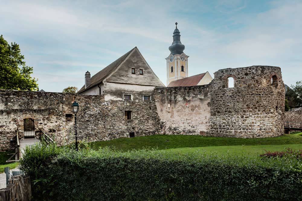
Austria's twelve UNESCO World Heritage Sites are places of Outstanding Universal Value – testimonies to our history, our connections with the world, and our responsibility towards the future. Austrian World Heritage Day serves as a reminder that these extraordinary cultural and natural monuments do not preserve themselves, and that any loss would be irreversible. Safeguarding our World Heritage requires constant care, collective commitment, and the concerted effort of all of us, so that this globally significant part of our shared environment may be secured for generations to come.
The sustainable preservation of World Heritage is a task for society as a whole. It is, therefore, particularly gratifying to see that both the programme of this annual event and the public interest surrounding it continue to grow year on year in Austria. It deepens the awareness that our cultural and natural heritage is not only a considerable asset to our country's reputation, but above all a vital resource and an invaluable link between past, present, and future. To nurture this treasure and make it tangible is an investment in our collective identity and a clear expression of solidarity with the international community.
I extend my heartfelt thanks to the management teams of Austria's World Heritage Sites and to the Austrian Commission for UNESCO for their dedication, and I wish all visitors an enjoyable and inspiring World Heritage Day 2026!